
Well it is that time again, time to start prepping for the Shasta Snow Trip. For those looking for an additional challenge, Gene and Tim have suggested a new and different way to perish on the trip this year. See Sasquatch Wears Snowshoes for the info on this Donner Party style tangent to the standard events or check out the condensed version here and find out if you qualify for this excursion.
Keep in mind that this plan includes both knowns and unknowns, and certain options and variations may affect its chances at success.
In essence, it involves having the Trip start Friday morning at the Rampaging Spot, which means that the adventure begins before it is supposed to. Whatever....it's as it should be. There may be some options for those less likely to enjoy camping at a potentially cold muddy place, and I'll get to those later.
People will apparently need to have maps. At this point, it is not certain whether some of the roads involved will show on the AAA maps; that is yet to be determined. In any case, these directions (with possible modifications later) and their inherent optional routes will get you to Mt. Shasta. We will let you know if the AAA maps have the info we need, and if they do not, we will make adjustments and/or additions.
This plan bypasses Willits and Tomki Road altogether, but fear not, as other important locations will be included on Sunday. There of course is the danger that some of the roads I have proposed will be impassable, and necessitate detours using major roads, which cannot be avoided totally anyway. This plan is open to modification up to the moment of truth, and if you have any questions or complaints or suggestions, make them known!
Some spots have opened up in the lodging houses in Mt. Shasta due to personal concerns and issues beyond our control. If you desire lodging, please contact me (Gene) for arrangements and info. We will very likely run out of space, so reserve yours now! (Bottom line: Uncertain whether bed or floor or whatever, but basic share cost of the roof and facilities is $20 per person per night....no pets please. An additional animal fine will be levied against us if your pet is discovered, and guess who gets to pay that?)
Come prepared to camp in any weather! Bring at least 5 gallons spare fuel!!! Have a working CB!
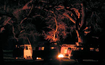
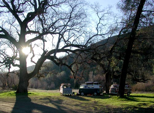
*Arrive at Rampaging Spot Thursday afternoon (Feb 8th) to Rampage, chill, fish, burn something, eat, sleep, crap in the woods, run from a bear, and wake early to depart (time of departure to be determined: Likely 4:30 am.)
 To find the Rampaging Spot: (Page 76, C-1 in the N. Cal Delorme Atlas and Gazetteer)
From I-5, Williams, take Hwy 20 west to Bear Valley Road (a few miles after the road gets hilly and curvy). Bear Valley Road will take you north approximately 15 to 25 miles until you find Brim Road, a left turn. Find this stuff on the map before you try it for real. Brim Road (dirt and potholes start here) could possibly be missed if you aren't sure what to look for. Brim Road (west) turns into Bartlett Springs Road--follow up and over the hill...take no turns off the main road! At the top of the hill, you will find yourself at a four-way, unmarked intersection. Just keep going straight west. After a while, which will seem like a long time if you're scared, or a short time if you're having fun, about 10 minutes after you pass the reservoir, you will come to a bridge over a significant (but not huge) river. Just past the bridge is the Rampaging Spot. Look down to the left and to the right and you will see many busable trails and more than likely, some buses. On maps, you should be able to pinpoint the Rampaging spot by simply looking for Indian Valley Reservoir, find Bartlett Springs Road (goes along the north side of the reservoir), and follow BSR west from the reservoir until you can see where the road crosses the creek that feeds the reservoir from the west. That there is the Rampaging Spot!

If you are approaching from the Hwy 101 side, you can either take Hwy 20 east until you get to Bear Canyon Road (about 1 hour 45 minutes from 101) and then follow the directions stated previously, or you can access Bartlett Springs Road directly from Hwy 20 near Nice (about 2 miles to the east...a left turn (north). Neither way is fast, so forget about time...just get there. Going from Nice on Bartlett Springs Road to the Rampaging Spot is more adventurous and more fun, but if you want to delay the dusty bone-shattering adventure mud "where the hell are we" stuff, for whatever reason, the Bear Valley Road method will work better for you. Again, consult your maps! (There are other ways to get there, but basically, find Bartlett Springs Road from one side or the other and drive 'til you see another bus that is less lost!)
 For those of you totally against camping in the wild, I advise that you look into lodging in Williams, Lodoga, or the immediate area. Pickings will be very very slim, though, and you wil have to be alert to make sure you meet up with us on our journey north. More on that later, depending on the situations that arise.
Advised: Get yourself a Delorme Atlas and Gazetteer for Northern California! Page numbers refer to that publication.
Most Important of All: Bring Your Brain. This trip is the real deal. This is where mistakes pile up and bite, complacency in driving threatens, and lack of preparedness kills; basically, you get 450 miles of chances to have an accident where you won't be found. You WILL be prepared.
Check out the helpful links below that lead to some crazy off road sites for fun ideas and interesting info and tips.
Below you can see what Shasta looks like right now.
